Property boundary and land drone survey
Buying a plot, a quinta or a rural property? Aerial imagery shows the land as it is: walls, fences, tracks, trees, water and what sits next door. A clear visual base for you, your lawyer and your surveyor.
What we check
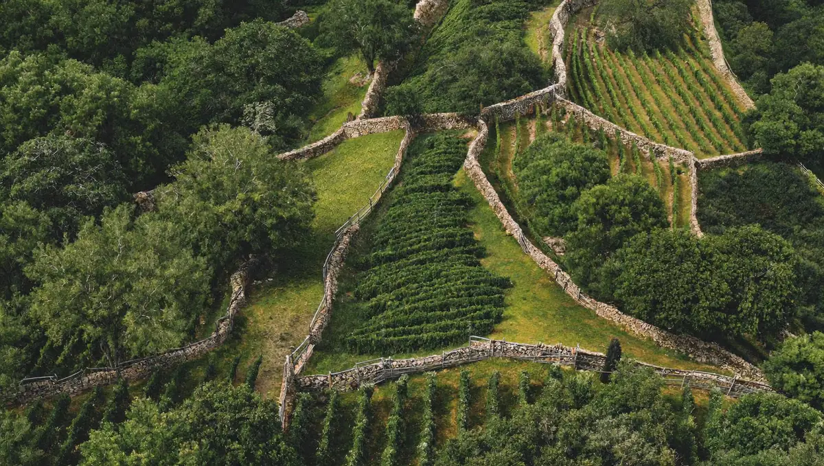
- Visible boundaries: walls, fences, hedges, tracks and landmarks
- The whole plot in one image, with annotated overview
- Access and surroundings: roads, neighbours, buildings, water courses
- Vegetation and ground condition: trees, clearing, slopes, erosion
- Buildings on the land: roofs, ruins, outbuildings, unregistered structures that are visible from above
- Comparison with the documents: what you see against the registry description and tax record, for your lawyer to follow up
Why it matters
Property boundaries in rural Portugal are often described in old documents and marked by walls, stones and trees. A drone image makes it easy to see what is on the ground and whether it matches what you were told.
It helps before you buy, when you plan works, when you divide or sell land, and as dated evidence if a boundary or an access is ever disputed.
Important: a drone survey does not set legal boundaries. Only a licensed topographic surveyor and the land registry can do that. We give you clear, dated imagery to support them.
How it works
Send us the listing
A link or the address, plus your phone number. Email, WhatsApp or the form, whichever is easier.
We send your quote
You get a clear quote and a date. We reply within one business day.
Inspection day
A licensed civil engineer inspects the property, photographs every finding and measures what can be measured.
Report in 48 hours
Your report arrives in English and Portuguese, findings ranked by priority. You decide what to do before the CPCV.
Questions about this service
Does it show the legal boundary?
It shows the visible boundary: walls, fences and landmarks. The legal boundary comes from the registry and from a licensed surveyor. Your lawyer can use our imagery to compare the two.
Can you cover large plots?
Yes. Large properties are flown in sections and combined into one overview.
Is it useful if there is a dispute with a neighbour?
It gives dated visual evidence of how the land looked on a given day. What it proves is for your lawyer to decide.
How do I get a quote?
Send us the location or a link to the listing, and the approximate size. We quote within one business day.
Ready when you are.
Send us the listing, the address or a short description. You get a quote and a date within one business day.